
Size 2022.6 square kilometres.
Location
Savelugu Municipal is one of the sixteen (16) administrative districts of the Northern Region with the capital as Savelugu. The Savelugu Municipal which until March 15th 2017 when Nanton District was created was called Savelugu/Nanton Municipal Assembly. It was carved out of the then Western Dagomba District in 1988 under PNDC Law 207. In March 2012, the Assembly was upgraded to a Municipal status under L.I 2071.
The Savelugu Municipality is located at the northern part of the Northern Region of Ghana and shares boundaries with West Mamprusi Municipality to the north, Karaga and Nanton Districts to the east, Kumbungu District to the west and Sagnerigu Municipal to the south.
The Savelugu Municipal Assembly which has a total land area of about 2022.6 sq. km. has about 81 communities with a lot of the communities concentrated at the southern part.
Topology and Drainage
The Municipality is generally flat with gentle undulating low relief. The altitude ranges between 400 to 800 ft. above sea level with the southern part being slightly hilly and sloping gently towards the North.
Drainage
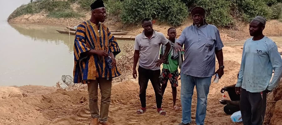
The main drainage system in the Municipality is made up of White Volta and its tributaries. The effect of the drainage system is felt mostly in the northern part of the municipality covering the areas between Nabogu and Kukuobilla. These areas are prone to periodic flooding during the wet season, thus making them suitable for rice cultivation. One of the tributaries of the White Volta, Kuldalnali, stretches to constitute a natural boundary between Tolon/Kumbungu district.
Climate and Vegetation
The area receives an annual rainfall averaging 600mm, considered enough for a single farming season. The annual rainfall pattern is erratic at the beginning of the raining season, starting in April, intensifying as the season advances raising the average from 600mm to 1000mm.Temperatures are usually high, averaging 34oC. The maximum temperature could rise as high as 42oC and the minimum as low as 16oC. The low temperatures are experienced from December to late February, during which the North-East Trade winds (harmattan) greatly influence the Municipality. The generally high temperatures as well as the low humidity brought about by the dry harmattan winds favour high rates of evaporation and transpiration, leading to water deficiencies.
Vegetation
The Municipality finds itself in the interior (Guinea) Savanna woodland which could sustain large scale livestock farming, as well as the cultivation of staples like rice, groundnuts, yams, cassava, maize, cowpea and sorghum. The trees found in the area are drought resistant and hardly shed their leaves completely during the long dry season. Most of these are of economic value and serve as important means of livelihood especially for women. Notable among these are shea trees, (the nuts which are used for making sheabutter) and dawadawa that provides seeds used for condimental purpose. The sparsely populated north has denser vegetation mostly with secondary forest. The populous south on the other hand, is depleted by human activities such as farming, bush burning and tree felling among others.
Geology and Soil
The Middle and Upper Voltaian sedimentary formation characterise the geology of the Municipality. The middle Voltaian covers the northern part comprises of sandstone, shale and siltstone. The Upper Voltaian covers the southern part of the Assembly and consists of shale and mudstone. Underground water potential is generally determined by this underlying rock formation, which has varying water potential for underground water compared to the upper Voltaian formation. Consequently, borehole drilling is expected to have a higher success rate in the northern rather than the southern section.
Date Created : 11/30/2017 5:32:14 AM


 facebook
 X
X
 Youtube
 instagram
 +233 593 831 280
 0800 430 430
 GPS: GE-231-4383
 info@ghanadistricts.com
 Box GP1044, Accra, Ghana