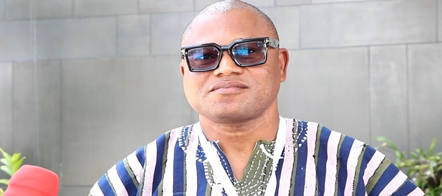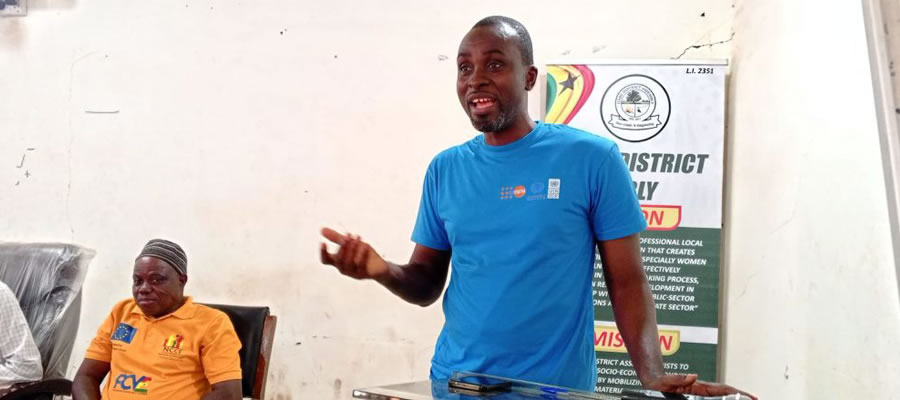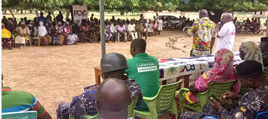

The Garu District is one of the 261 Metropolitan, Municipal and District Assemblies (MMDAs) in Ghana, and forms part of the fifteen (15) Municipalities and Districts in the Upper East Region.
The District is located in the south eastern corner of the Upper East Region of the Republic of Ghana with the administrative capital as Garu.
It covers an area of 676 Km2 and lies on approximately latitude 10o 38lN and110N and longitude 0o 06l E and 00 23l E.T.
It shares boundaries with, Bawku Municipal to the north, Binduri District to the north west, Pusiga District to north east, East Mamprusi Municipal to the south west, Bunkpurugu Nyankpanduri District to south-east, Bawku West District to the west and the Republic of Togo to the east.
The population of the District according to 2021 population and housing census stands at 71,774 with 34,434 males and 37,340 females.


 facebook
 X
X
 Youtube
 instagram
 +233 593 831 280
 0800 430 430
 GPS: GE-231-4383
 info@ghanadistricts.com
 Box GP1044, Accra, Ghana