- Item
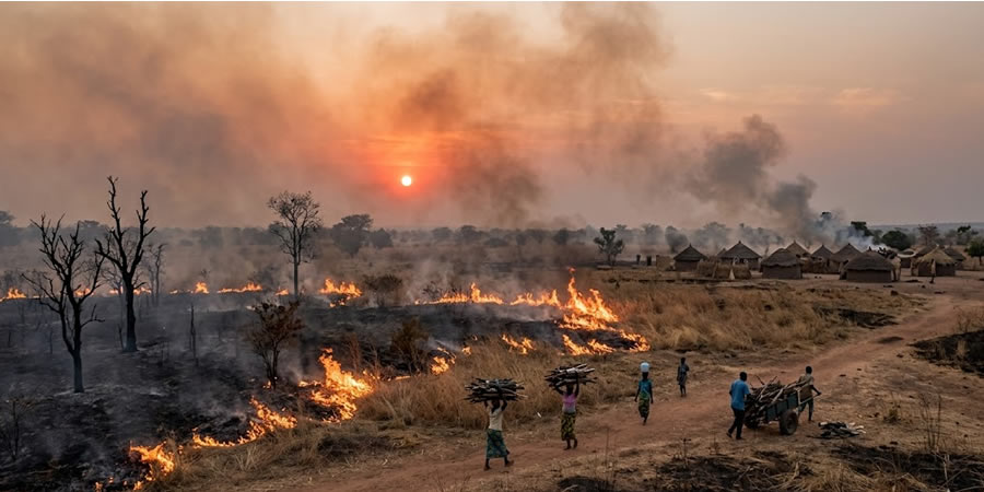
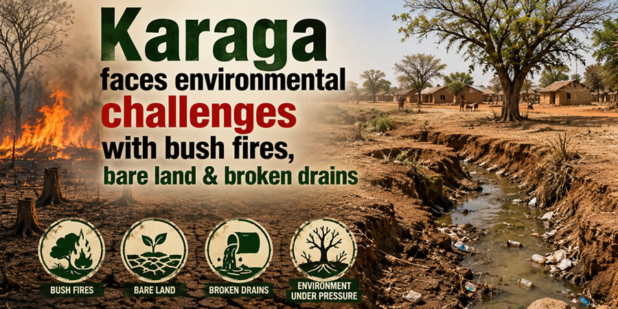
The Land That Burns Every Year: How Bush Fires and Wood Fuel Are Changing Karaga Foreve
Date Created : 5/14/2026 4:39:21 AM : Story Author : Ernestina Mensah/Ghanadistricts.com
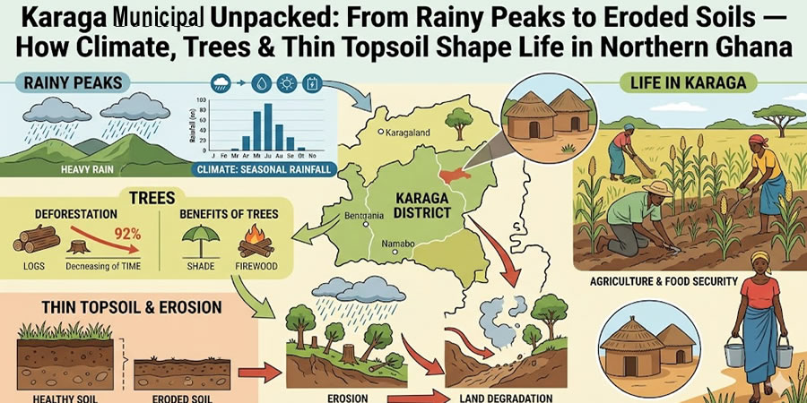
In Karaga District, geography isn’t just scenery — it’s a rhythm. A pulse. A seasonal drama that transforms roads into rivers, villages into islands, and dry-season development plans into monsoon standstills. Welcome to “Overseas Karaga” — a locally coined, tongue-in-cheek but deeply real term for the northern half of the municipality, cut off each rainy season by the swelling Nasia River.
What Makes Karaga Unique?
Undulating terrain with hidden valleys: Gentle hills give way to small streams — and larger, dramatic valleys near Sakulo and Namburugu where water converges.
The Nasia River — the great divider: Flowing between Namburugu and Bagli, it splits Karaga cleanly into North (the “Overseas” zone) and South — with no permanent bridge crossing.
Intermittent lifelines: All streams — including tributaries of the Nabogu River (Dibolo–Namburugu corridor) — vanish in the dry season… only to roar back during rains.
Flood-driven isolation: When the Nasia swells, it floods low-lying land, submerges feeder roads, halts transport, and freezes construction, health outreach, educational support, and market access — especially north of the river.
The Reality on the Ground
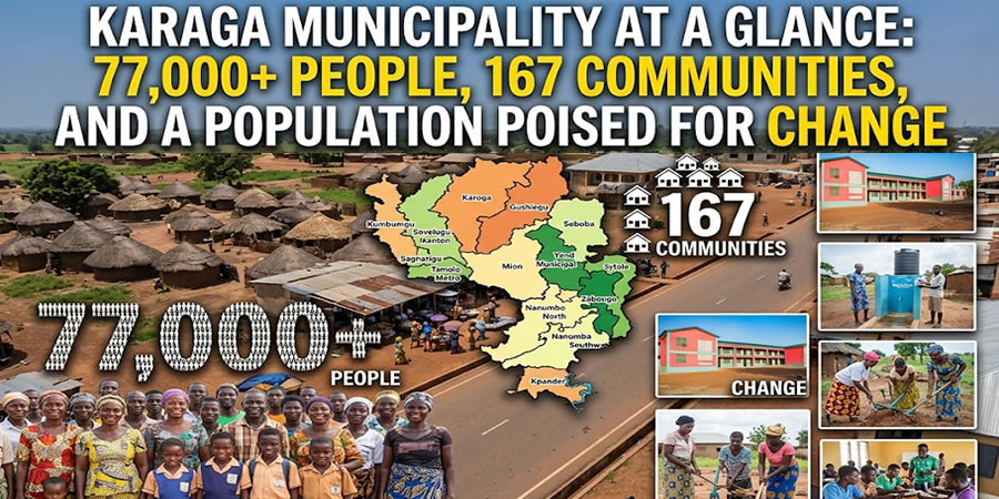
No all-weather access: Communities like Bagli, Namburugu North, and others become practically unreachable from June to October.
Development freeze: Schools, clinics, boreholes, and road rehabilitation projects stall — scheduled only for the 6-month dry window.
Economic ripple effect: Farmers can’t get produce to markets; traders delay deliveries; students miss exams; mothers walk hours to reach antenatal care.
Karaga’s hydrological rhythm holds untapped potential:
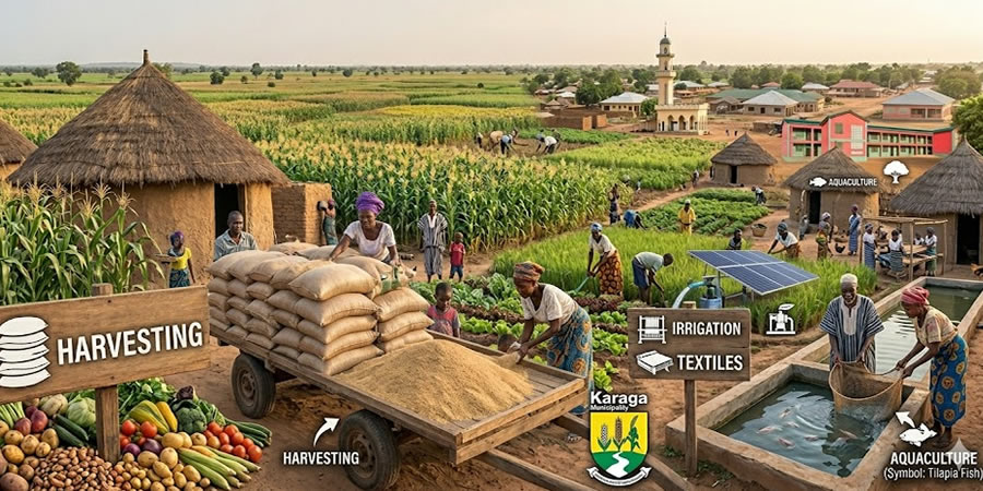
Flood-recession agriculture (Deyi farming): Fertile silt deposits left behind after floods could be harnessed for rice, maize, or vegetables — if supported with timely extension services and storage.
Strategic infrastructure investment: A single resilient bridge across the Nasia — or elevated causeways — would unlock year-round connectivity and catalyze growth across the entire northern belt.
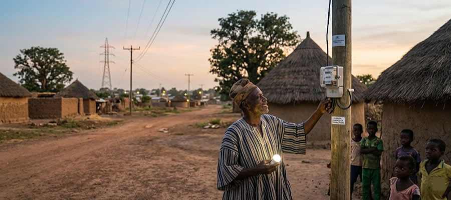
Solar + water synergy: With long dry seasons come abundant sunshine — ideal for solar-powered irrigation, cold-chain storage, and off-grid health facilities in isolated communities.
Digital resilience: Drone-based health monitoring, mobile GIS mapping of flood-prone zones, and SMS-based early-warning systems could turn vulnerability into preparedness.
Karaga Matters beyond Its borders
Karaga is a microcosm of climate-vulnerable districts across Northern Ghana. Its story — of seasonal isolation, adaptive ingenuity, and latent opportunity — offers lessons in resilience, equity, and smart infrastructure. Solving Karaga’s “Overseas” challenge isn’t just about one river — it’s about reimagining how Ghana builds with, not against, its natural rhythms.
Other stories


Local Gov Ministry
Int of Local Gov Studies
Ministry of Information
Local Gov Service
Ghana MPs
Ghana Hospitals
NALAG
 facebook
 X
X
 Youtube
 instagram
 whatsapp
 +233 593 831 280
+233 20 230 9497
+233 593 831 280
+233 20 230 9497 0800 430 430
 GPS: GE-231-4383
 info@ghanadistricts.com
 Box GP1044, Accra, Ghana