
location and size
Size
1,460 square kilometres
Location
The North Tongu District, which was curved out of the former Tongu District Council in 1989 by Legislative Instrument (L1.15) lies within latitudes 5047°N to 60°N and longitude 005° E to 0045
Topology and drainage
Topography
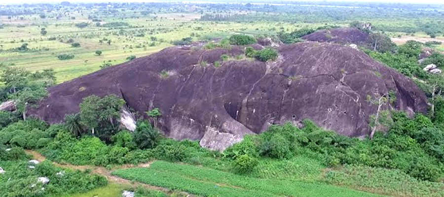
The topography of the District is gentle, ranging from near sea level to about 18 meters (60 feet) above sea level, with slopes less than 5 per cent. The areas near the Volta River are at a higher elevation, falling gradually backwards and rising again into the Adaklu Hills.
Drainage
The District is drained by the Alabo, Kolo, Aklakpa, Gblor, and Nyifla streams and their numerous tributaries into the Volta River, which runs North – South through the District. The Todze and its western tributaries drain the eastern part of the District into the Avu lagoon. In the rainy season, these streams overflow their banks, causing damage to roads and farms. Channeling, diversion, basin clearing or other means of correction could re-drain large areas of agricultural lands and boost agricultural production.
Climate and vegetation
Climate
The climate of the District is Tropical, greatly influenced by the South – West Monosoons from the south Atlantic and the dry Harmattan winds from the Sahara. There are two rainy seasons, the major one from mid – April to early July and the minor from September to November. The average annual rainfall varies from 900mm to 1100mm with more than 50 per cent of it falling in the major season. Rainfall generally is inadequate even during the major season, which adversely affects both crop and cattle production in the District.
Vegetation
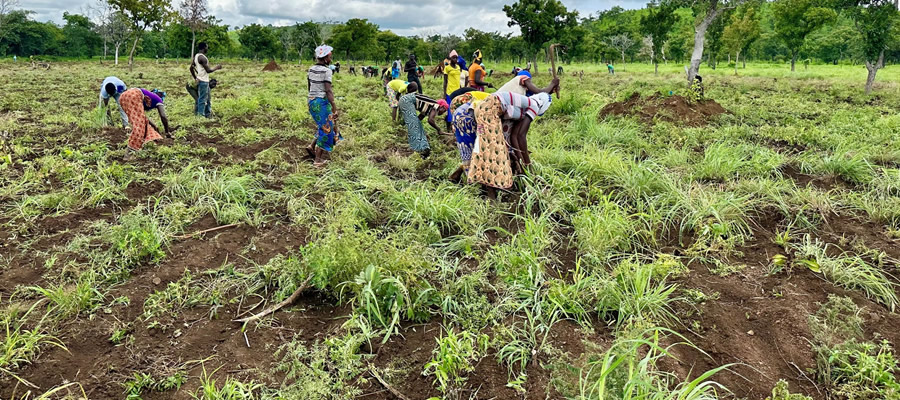
The District lies within the tropical savannah grassland zone. The vegetation is dense along the Volta River and along the stream basins. This is basically due to the presence of more fertile soils and better subsoil moisture.This vegetation consists of mangoes, oil palms, baobab, silk cotton, acacia etc. Farther from the river the vegetation in sparse, predominantly grassland, interspersed with neem trees and guinea grass, digitaria decumbent and fan palms, which dot the Mafi Kumase and Agohome – Avetakpo areas. The latter are used extensively as timber for housing purposes in the District.
geology & soil
Soil
There are dominantly medium to moderately coarse textured alluvial soils along the Volta River. Below these are the heavier clay soils that characterize most parts of the District, leading to poor surface and sub-surface drainage, making road development difficult.These soils are also very difficult to cultivate because they have low water holding capacity. They are also shallow (low effective rooting depth). They are however, suitable for rice and sugarcane cultivation under irrigation. They form the raw material for pottery, brick and tile industries.
Date Created : 11/29/2017 2:20:33 AM


 facebook
 X
X
 Youtube
 instagram
 +233 593 831 280
 0800 430 430
 GPS: GE-231-4383
 info@ghanadistricts.com
 Box GP1044, Accra, Ghana