
Location and Size
The Nzema East Municipality which is one of the thirteen (17) Districts in the Western Region of Ghana and is located on the southern end of the region between longitudes 2005’ and 2035’ west and latitudes 40 40’ and 50 20 North .
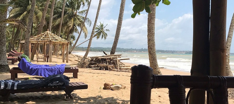
It is bounded on the West by Ellembele District, North by Wassa Amenfi District and the East by Tarkwa-Nsuaem Municipality Prestea Huni Valley, Ahanta West and on the South, it is bounded by the Gulf of Guinea with a 9 km stretch of sandy beaches.
This makes it one of the best destinations for tourism in the region especially beach tourism.The Nzema East and Ellembelle Districts cover a total land area of 21942 (squire kilometers) which also forms about 9.8% of the total land area of the Western Region.
The Municipality has 0ne Constituency namely
Evalue Gwira with a total of eleven (11) Area Council, one (1) Urban Council, Unit Committee and Electoral Areas. Table 1 below depicts the Urban, and Area Councils.
Evalue-Gwira Constituency has total of three (3) Zonal Councils as stated below:
- Axim Zonal Counicl
- Nsein Zonal Council
- Bamiankor Zonal Council
Relief and Drainage
The Relief of the Municipality is generally undulating with the highest point at about 450ft above mean sea level. This Municipality is mainly drained by the Ankobra River and it major tributaries like the Ahama and Nwini rivers. Others like the Ankansa River and its tributaries drain the Northern side and act as a boundary between the Municipality and Wassa Amefi, Amansure River in the South – Western area, and some numerous minor ones such as Ebi, Fia, Franza and Mufre scattered all over the Municipality. Most of these rivers and streams flow throughout the year.
Climate and Vegetation
The Municipality lies between the wet semi-equitorial climate zone of the West African Sub-region. Rainfall is experienced throughout the year with the highest monthly mean occurring around May and June each year. The average temperature in the Municipality is about 29. 4 with variation in mean monthly ranging between 4 to 5 degrees Celsius throughout the year as shown in the table for 2004 and 2005 below:
The vegetation of the Municipality is made up of the moist semi-deciduous rain forest mainly in the northern part, followed by secondary forest southwards mainly due to human activities like tree felling and farming and coastal savanna mainly in the south along the 30km coastal belt. All these comprise of large areas of forest resources which include various timber species and other non timber forest products like rattan, bamboo, game and wildlife all of which offer opportunities to generate resources for development.
Geology and Minerals
Soils in the Municipality are mostly underlain by Cambrian Rocks of the Birimean formation and the Tarkwaian sandstone-Association Quartzite and Phyllites types and have serious implications for development as they contain minerals like kaolin, silica and gold, sand and stone deposits.
These have given rise to a number of small scale mining companies and “galamsey” operations in the Municipality, with others prospecting. Though these offer potentials for employment generation, they also pose Environmental and Health hazards and challenges. There is also a mechanized quarry plant presently at Bamiankor producing quarry stones for both building and road construction.
Date Created : 11/28/2017 7:44:27 AM


 facebook
 X
X
 Youtube
 instagram
 +233 593 831 280
 0800 430 430
 GPS: GE-231-4383
 info@ghanadistricts.com
 Box GP1044, Accra, Ghana