- Item


PHYSICAL CHARACTERISTICS
Location and size
Abelenkpe Zonal Council has a total land space of 385km sq and occupies about 3.0 % of the Ayawaso West Land Area. It is located on Longitude 05°35'N and on Latitude 00°06'W. It is bordered in the North by La NkwantanangMadina Municipal Assembly, North East by Adentan Municipal Assembly, East by Ledzokuku Municipal Assembly, South East by La Dade Kotopon, South with Ayawaso North Municipal Assembly, South West with Accra Metropolitan Assembly, West with Okaikwei North Municipal Assembly and in the North West by Ga East Municipal Assembly. Figure 1.2 shows the location of the Municipality in the National and Regional context.

Geological Structure
AWMA consists of mixed quartzite sands, garnet, Hornblende Gneiss. The Garnet and Hornblende Gneiss can be found around the western part of the Municipality and the mixed quartzite and sandnit can be found in the mid portion of the Municipality.
The soil in the Municipality can be divided into four main groups; drift materials resulting from deposits by windblown erosion; alluvial and marine mottled clay of comparatively recent origin derived from underlying shales; residual clay and gravels derived from Accrarian sandstone bedrock. In many low lying poorly drained areas, pockets of alluvial ‘black cotton’ sand are found. These soils have a heavy organic content; they expand and contract readily causing major problems on building foundations and footings. In some areas lateritic soils which are strongly acidic abound. These soils when saturated are compact but pose a threat to concrete foundations causing honey-combing.
Precipitation Climate and Drainage
AWMA lies in the Savanna Zone with annual average rainfall of about 800-900mm within the two rainy seasons; May-mid-July and mid-August -October. However due to recent climate variability there are sometimes variation from the major raining seasons with dry months of December experiencing rainfall. There is very little variation in temperature throughout the year. The mean monthly temperature ranges from 24.7C in August (the coolest) to 28.C in March (the hottest) with the annual coverage of 26.C. As the area is close to the equator, the daylight hours are practically uniform throughout the year. Relative humidity is generally high varying from 65% in the mid- afternoon to 95% at night.
Climate change
AWMA like most parts of Ghana has stared experiencing the effects of climate change. This has made the mainstreaming of, climate change, green economy and environmental concerns crucial in ensuring sustainable development. Appendix 1 indicate the Climate Risk of the municipality The Municipality in other to ensure development that does not deprive the future of needed resources to develop will take advantage of the opportunities that exist through the adoption and adaption of both local and external strategies to mainstream green economy, climate change and biodiversity protection issues in its development programme.
These strategies will include among others;
• Prevention of encroachment on protected areas, water bodies and farm lands
• Intensify public information and awareness campaigns on flood prevention, energy conservation, climate change, green economy and mitigation strategies.
• Mainstream green economy through reuse, recycle, reclamation conservation, permitting of buildings etc..
• Encourage sustainable socio-economic livelihoods among locals through organic agriculture aqua culture and ecotourism.
• Improve and introduce innovative ways in waste management and disposal systems like sorting, composting, bio-fills etc.
• Strengthen the capacities of agencies that are charged with promoting environmental standards.
General public awareness on climate change and mitigation strategies through mass media educational campaigns.
Vegetation
There is evidence to suggest that the vegetation of the Municipality has been altered in the past century by climate and the other human factors. Much of the Municipality was believed to have been covered by dense forest of which only a few remnant trees survive. Climate change combined with rapid urbanization has imposed vegetation structures similar to those of the Southern sahael.
Abelenkpe Zonal Council has a total land space of 385km sq and occupies about 3.0 % of the Ayawaso West Land Area. It is located on Longitude 05°35'N and on Latitude 00°06'W. It is bordered in the North by La NkwantanangMadina Municipal Assembly, North East by Adentan Municipal Assembly, East by Ledzokuku Municipal Assembly, South East by La Dade Kotopon, South with Ayawaso North Municipal Assembly, South West with Accra Metropolitan Assembly, West with Okaikwei North Municipal Assembly and in the North West by Ga East Municipal Assembly. Figure 1.2 shows the location of the Municipality in the National and Regional context.
Geological Structure
AWMA consists of mixed quartzite sands, garnet, Hornblende Gneiss. The Garnet and Hornblende Gneiss can be found around the western part of the Municipality and the mixed quartzite and sandnit can be found in the mid portion of the Municipality.
The soil in the Municipality can be divided into four main groups; drift materials resulting from deposits by windblown erosion; alluvial and marine mottled clay of comparatively recent origin derived from underlying shales; residual clay and gravels derived from Accrarian sandstone bedrock. In many low lying poorly drained areas, pockets of alluvial ‘black cotton’ sand are found. These soils have a heavy organic content; they expand and contract readily causing major problems on building foundations and footings. In some areas lateritic soils which are strongly acidic abound. These soils when saturated are compact but pose a threat to concrete foundations causing honey-combing.
Precipitation Climate and Drainage
AWMA lies in the Savanna Zone with annual average rainfall of about 800-900mm within the two rainy seasons; May-mid-July and mid-August -October. However due to recent climate variability there are sometimes variation from the major raining seasons with dry months of December experiencing rainfall. There is very little variation in temperature throughout the year. The mean monthly temperature ranges from 24.7C in August (the coolest) to 28.C in March (the hottest) with the annual coverage of 26.C. As the area is close to the equator, the daylight hours are practically uniform throughout the year. Relative humidity is generally high varying from 65% in the mid- afternoon to 95% at night.
Climate change
AWMA like most parts of Ghana has stared experiencing the effects of climate change. This has made the mainstreaming of, climate change, green economy and environmental concerns crucial in ensuring sustainable development. Appendix 1 indicate the Climate Risk of the municipality The Municipality in other to ensure development that does not deprive the future of needed resources to develop will take advantage of the opportunities that exist through the adoption and adaption of both local and external strategies to mainstream green economy, climate change and biodiversity protection issues in its development programme.
These strategies will include among others;
• Prevention of encroachment on protected areas, water bodies and farm lands
• Intensify public information and awareness campaigns on flood prevention, energy conservation, climate change, green economy and mitigation strategies.
• Mainstream green economy through reuse, recycle, reclamation conservation, permitting of buildings etc..
• Encourage sustainable socio-economic livelihoods among locals through organic agriculture aqua culture and ecotourism.
• Improve and introduce innovative ways in waste management and disposal systems like sorting, composting, bio-fills etc.
• Strengthen the capacities of agencies that are charged with promoting environmental standards.
General public awareness on climate change and mitigation strategies through mass media educational campaigns.
Vegetation
There is evidence to suggest that the vegetation of the Municipality has been altered in the past century by climate and the other human factors. Much of the Municipality was believed to have been covered by dense forest of which only a few remnant trees survive. Climate change combined with rapid urbanization has imposed vegetation structures similar to those of the Southern sahael.
Date Created : 11/12/2025 12:00:00 AM


GoG Portal
Local Gov Ministry
Int of Local Gov Studies
Ministry of Information
Local Gov Service
Ghana MPs
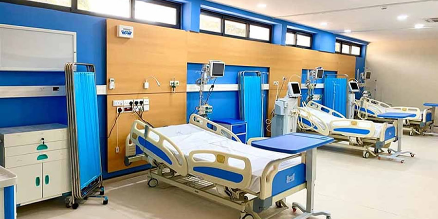
Ghana Hospitals
NALAG
Local Gov Ministry
Int of Local Gov Studies
Ministry of Information
Local Gov Service
Ghana MPs
Ghana Hospitals
NALAG
 facebook
 X
X
 Youtube
 instagram
 whatsapp
 +233 593 831 280
+233 20 230 9497
+233 593 831 280
+233 20 230 9497 0800 430 430
 GPS: GE-231-4383
 info@ghanadistricts.com
 Box GP1044, Accra, Ghana