
Location and Size
The Lambussie-Karni District lies in the north-western corner of the Upper West Region of Ghana. It is the ninth district to be created in the region. The district was created from the Jirapa-Lambussie District Assembly by the legislative Instrument LI 1849 in 2007.
The District shares boundaries to the south with Jirapa District Assembly, to the East with Sissala West District, to the West with the Lawra District and to the North with Burkina Faso. The District, therefore, serves as the National Gate way to Burkina Faso. Other major towns in the District include Hamile, Samoa, Billaw, Piina and Karni. The location of the District is strategic as its proximity to Burkina Faso could enhance cross border trade and other mutual relationships in terms of exchange of ideas for the development of the District.However cross border crimes and other spread diseases could also have negative consequences for the District as it is the entry and exit point for both humans and animals Bellow is the draft map of the District.
Topology and Drainage
Generally the landscape of the District is flat and low-lying, with an average height of 300 meters above sea level. There are some plateaus spots ranging in height from 300-350 meters around Bamwon, Lambussie, Nabaala and Billaw areas. These areas are believed to have gold deposits in large quantities. There is therefore a potential for mining activities in those areas.
Drainage is quite poor as there are no major rivers, except a few tributaries of the Black Volta. The only major stream is the “Bugbele” at Piina. In the dry season, all the water sources dry up, leaving the District with no surface water. The District abounds in valleys for the development of dams and dug-outs for small scale irrigation, fishing and watering of animals, particularly in the long dry season.
Climate and Vegetation
The District is situated in the Tropical Continental Climatic Zone with mean-annual temperature ranging between 28 and 31 degrees Celsius. It experiences a single rainy season which starts in June and ends in October giving way to a long dry season usually from November to May. The district also experiences an erratic pattern of rainfall which varies from year to year resulting occasionally in intermittent drought and flooding. Annual rainfall ranges between 900-1,100mm.
The District lies within the Guinea Savannah woodland vegetation with light undergrowth and scattered trees. Trees such as Dawadawa and baobab are ubiquitous in the District. These trees are of economic importance as most people depend on them for their livelihood. However, notwithstanding the importance of these trees, indiscriminate felling of trees especially for firewood, charcoal and other related activities have put excessive pressure on these trees, making them stand the risk of extinction. This implies that, there should be mass campaign to encourage the populace to embark on tree planting rather than indiscriminate felling of the tree species.
Geology and Soil
The Lambussie-Karni District has an extensive Birimian formation with concentration of granite rocks around Lambussie, Bamwon and Billaw. The granite rocks store considerable quantities of ground water and therefore have high potential sinking boreholes and hand-dug wells. The major soil type in the District is sandy loam, with undulating hard pan concentrations. There are however, strips of alluvial soils along the valleys and the tributaries of the Black Volta, suitable for rice farming.
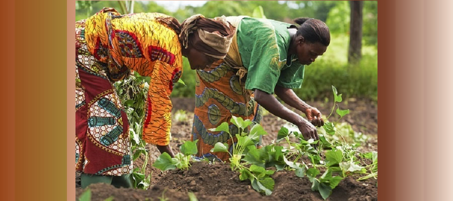
It is gratifying to note that the sandy loamy soils are fertile and suitable for the cultivation of cereals and leguminous crops such as maize, sorghum, cowpea and groundnuts on a large scale. The presence of gravel and clay deposits in the District presents an opportunity for the construction of bricks and tiles, paint and pottery industries.
Date Created : 11/29/2017 7:35:28 AM


 facebook
 X
X
 Youtube
 instagram
 +233 593 831 280
 0800 430 430
 GPS: GE-231-4383
 info@ghanadistricts.com
 Box GP1044, Accra, Ghana