

Water
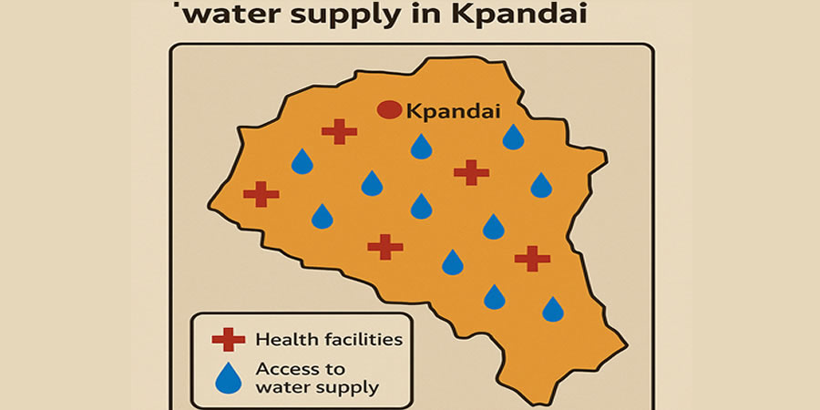
The main sources of potable water for the people in the district include small town water systems, boreholes, and wells. The District has a total number of 5 small water system, 117 boreholes and 6 wells in about 250 communities. The other sources of drinking water included Oti River, River Dakar, dams and seasonal streams. The District potable water coverage as at 2009 is 37.90% but the table below shows the spatial coverage in terms of Town/Area Councils.
Table 1.25: Water Facilities and Coverage
Area/Town Council 2010 Kpandai District Water Statistics
BH HDW PS PPOP POPC COV
Kpandai 21 3 28 11964 11541 96.46%
Lonto/Kpajai 0 0 0 9958 0 0.00%
Ketiejeli 29 3 14 11627 9307 80.05%
Jambuoai 6 0 8 18113 4200 23.19%
Nkanchina/Balai 31 0 0 14305 7299 51.02%
Ekumdi 26 0 10 19213 8054 41.92%
Kabonwule 4 0 0 24576 1200 4.88%
District Coverage 117 6 60 109756 41601 37.90%
Sanitation
The general sanitation situation in the district leaves much to be desired. There is only one approved final refuse disposal site at Kpandai which is about 4km. from District Capital. All other communities in the district have no approved sites for solid waste disposal.
They dump refuse indiscriminately. Only the District Capital has a limited number of refuse containers for refuse disposal.
There are no sewage systems for disposing liquid waste as such; most of the people therefore resort to throwing their liquid waste around the surroundings of their houses and in gullies created by the erosion.
These wastes get collected in these gullies and serve as the major grounds for the breeding of mosquitoes and other harmful insects that pose serious health hazards to the people.
Date Created : 11/18/2017 6:31:23 AM





 facebook
 X
X
 Youtube
 instagram
 +233 593 831 280
 0800 430 430
 GPS: GE-231-4383
 info@ghanadistricts.com
 Box GP1044, Accra, Ghana