
Relevant Data
Location and size
Assin South District is located on latitude 50 30” N and on longitude 10 2” W. The district shares boundaries with Twifo Hemang Lower Denkyira on the West, Abura Asebu Kwamankese District on the South, Asikuma Odoben- Brakwa and Ajumako Enyan Essiam on the East and Assin North Municipal on the Northern border. The district covers a total land area of 1100, 89650km2 (square kilometers) which is about 11.4 percent of the region’s total land area, and the largest, in the Central Region.
Climate
The district falls within the evergreen and semi- deciduous forest zones. The annual average temperatures are high between 300C from March-April and about 200C in August. The annual average rainfall is between 1250mm to 2000mm whilst average relative humidity ranges between 60 percent and 70 percent. However, the district experiences a bi-modal rainfall pattern giving rise to major raining season which starts from April to July and minor season that starts from September to November.
Vegetation
The vegetation cover is generally evergreen made up of thick forest virgin in the forest reserves predominated raffia palm and bamboo. It has Wawa, Mahogany and Odum as some of the tree species. The area is swampy and dominated by raffia and bamboo. There are five (5) forest reserves in the district namely Ayensua, Krotoa, Apeminim, Atendansu and Kakum.
Relief and drainage
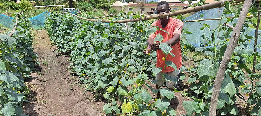
The district is characterized by an undulating topography with an average height of 200m above sea level. The district is drained by numerous rivers and streams which include Kakum, Wanko, Ochi and Kyina. Swamps also abound in the district which serves as potential for fish farming and dry season vegetable farming.
Date Created : 11/30/2017 2:21:36 AM


 facebook
 X
X
 Youtube
 instagram
 +233 593 831 280
 0800 430 430
 GPS: GE-231-4383
 info@ghanadistricts.com
 Box GP1044, Accra, Ghana