

LOCATION AND SIZE
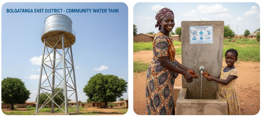
Bolgatanga East District is located in the South Eastern part of the Upper East Region, and Zuarungu serves as the district capital. Is bordered to the North by the Bongo District, South and East by Talensi and Nabdam District and Bolgatanga Municipality to the West.
It was established by LI 2350 (2017). By virtue of its location and status, as the district capital it has become a nodal town, whereby it attracts centripetal forces and radiates centripetal forces, consequently many businesses will be established to take advantage of the opportunities, resulting in the concentration of business with the possible advantages and disadvantage regarding spatial organization and population influx.
CLIMATE AND VEGETATION
The climate is classified as tropical and has two distinct seasons a wet season that runs from May to October and a long dry season that stretches from October to April; with hardly any rains. Mean annual rainfall is 950mm while maximum temperature is 45°C in March and April with a minimum of 12°C in December.
The one rainy season means most Agricultural activities must be carried out at this time to meet the food requirements for the year. As this is normally not achieved, this has to be supplemented with irrigation farming in the dry season.
The natural vegetation is that of Guinea savannah woodland consisting of short deciduous trees, widely spaced and a ground flora, which gets burnt by fire or scorched by the sun during the long dry season.
The most common economic trees are the Sheanut, Dawadawa, Baobab and Acacia. The district has a forest reserve, which primarily protects most of the water bodies in the area. Because the ground flora gets dried up in the dry season bush fires are a common phenomenon which sometimes burns some of these economic trees
TOPOGRAPHY AND DRAINAGE
The land form of the District is gently undulating with isolated rock outcrops and some upland which have slopes. It falls within the Birimian, Tarkwaian and Voltarian rocks of Ghana. The District is drained by the Kula River which is a tributary of the White Volta.
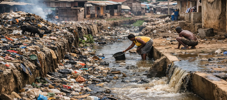
The District also has a lot of wetland ecosystems which have been extensively compromised by farmers and private developer
Date Created : 12/17/2024 12:00:00 AM




 facebook
 X
X
 Youtube
 instagram
 +233 593 831 280
 0800 430 430
 GPS: GE-231-4383
 info@ghanadistricts.com
 Box GP1044, Accra, Ghana