- Item


Location and Size
The Ellembelle District being one of the Seventeen (17) Districts in the Western Region of Ghana is located on the southern part of the region between longitudes 2º05’ W and 2º35’ W and latitude 4º40N and 5º20N.
The District shares boundaries with the Jomoro District to the West, Wassa Amenfi West District to the North, Nzema East Municipal to the South – East, Tarkwa – Nsuaem Municipal to the East and a 70 km stretch of sandy beaches to the south. It covers a total area of about 1,468 Square kilometers, which constitutes about 9.8% Percent of the total land mass of the Western Region.
The District has one constituency, the Ellembelle Constituency with a total of Seven (7) Area Councils and 31 Electoral Areas. Table 1 below depicts the Area Councils.
Topography (Geology and Minerals)
The topography of the District is generally undulating with the highest point at about 450ft above mid sea level. The rocks are made up mainly of the Cambrian type of the Birimean formation and the Tarkwaian sandstone-Association Quartzite and Phyllites types. It contains economic minerals such as kaolin, silica and gold, as well as sandstone deposits.
The presence of these precious minerals deposits in the district has the potential to generate royalties as revenue for the district as well as create employment for the inhabitants of the area. The availability of the Gold deposit especially has given rise to a number of mining activities with the “Galamsey” mining activities on the upsurge and thereby posing serious security and environmental challenges.
Relief and Drainage
The District is endowed with a number of rivers and streams, the most important of which is the Ankobra River with its major tributaries like the Ahama and Nwini rivers. Others like the Ankansa and Draw River and its Tributaries drain the Northern side and act as a boundary between the District and Wassa Amenfi, Amansure River in the south – western area, and some numerous minor rivers and streams which do not exceed 150m above sea level flow throughout the year. The streams and rivers exhibit a dendritic pattern, which forms the Ankobra basin. The relief and drainage system favour the development of fish farming and cultivation of valley bottom rice, sugarcane and dry season vegetables. The presence of larger Rivers like the Ankobra has induced commercial fish farming in communities along the Ankobra basin. Due to the relatively low level of drainage in the district, construction such as road is relatively less expensive and easier.
Climate
The District lies within the wet semi-equatorial climatic zone of the West African Sub-region. The area experiences an all – year round rainfall with the highest or maximum monthly mean of rainfall occurring around May and June.
Mean Annual rainfall figures ranges from 26.8mm to 42.6mm. The average temperature in the District is about 29.40C with variation in mean monthly ranging between 40C to 50C throughout the year as shown in the table for 2008 and 2008 below:
The high rainfall pattern and the long periods of the rainfall has resulted in the presence of many rivers like Ankobra and Mufre in the District which can, using the right technology, easily be harnessed to provide potable water and water transport the communities.
They can also be a good source of Inland fishing as well as for irrigation farming in order to provide employment and improve the nutritional status of the people.
The district records high relative humidity figures ranging from 27.6% to 26.6% between May and June and 27.3% to 27.9 during the rest of the year.
The climate of the district is suitable for the cultivation of various crops both food and cash. However the influence of the short dry spell (harmattan) has damaging effects on the environment and farm outputs. The heavy and prolonged rains associated with this type of climate adversely affect cocoa harvest especially drying of the beans and aggravate the black pod diseases that attack cocoa. In addition, all the untarred roads become almost unmotorable during the rainy season.
Vegetation
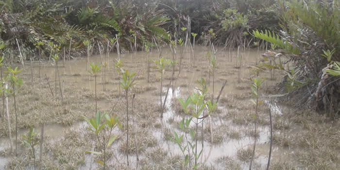
The vegetation of the District is made up of the moist semi-deciduous rain forest in the northern part of the District, but turns into secondary forest as one move southwards mainly due to human activities like tree felling and farming. There is about 70km coastline which is mainly of savanna vegetation. The District has several timber species and other non-timber forest products like rattan, bamboo, among others. It also abounds in game and wildlife all of which offer opportunities for resources extraction and entrepreneurial development.
There are also three forest reserves in the District. These are Shelter Forest Reserve, Draw River Forest Reserve (the largest and located at the Northern half of the District) and the Ndumfri Forest Reserve located in the North Eastern end of the District. However the existence of some nature conservation areas and biodiversity restricted areas like the Ankasa Conservation Area and the Draw River at the Northern part of the District. The Community Resource Management Area (CREMA) concept, by Wild Life Division of the Forestry Commission is an initiative which will help curtail the unsustainable usage of natural resources.
The district has a rich diversity of fauna and flora, which has the potential of turning the district into a major tourist destination in the country in particular and the globe in general, if the needed tourist infrastructure such as good roads, hotels, restaurants and communication facilities are made available. There is therefore a great potential to generate huge revenue from tourism in the district using the forest resources and for this reason; the District Assembly should be supported and encouraged to develop the tourism industry into an investment attraction as an appropriate alternative revenue earner.
Indicate district Map here
Soil Type
The soil in the district is mainly of the ferric acrisols and dysric fluvisols type. The ferric acrisols type of soil constitute about 98% of the entire land of the district, as such supports the cultivation of a wide range or variety of crops including cocoa, coffee, coconuts, oil palm, plantain and cassava. Due to this characteristic, the district has a comparative advantage in agriculture especially in the area of agro –processing and plantations.
Date Created : 11/28/2017 7:30:13 AM


Local Gov Ministry
Int of Local Gov Studies
Ministry of Information
Local Gov Service
Ghana MPs
Ghana Hospitals
NALAG
 facebook
 twitter
 Youtube
 +233 593 831 280
+233 20 230 9497
+233 593 831 280
+233 20 230 9497 0800 430 430
 GPS: GE-231-4383
 info@ghanadistricts.com
 Box GP1044, Accra, Ghana