- Item


The Adaklu District is one of the 261 Metropolitan, Municipal and District Assemblies (MMDAs) in Ghana, and forms part of the 18 of Municipalities and Districts in the Volta Region.
Adaklu District Assembly was established by Legislative Instrument (L.I) 2085 of 2012. It was carved out of the former Adaklu-Anyigbe District now Agotime-Ziope District.
Its Administrative Capital is Adaklu-Waya which is geographically positioned in the centre of the District. It was inaugurated on the 28th June, 2012 as part of efforts to deepen the decentralization process and to bring development to the doorstep of the people of Adaklu and its environs.
The District is located in the southern part of the Volta Region and lies within Longitudes 06°41'1?N and 6.68361°S and Latitudes 00°20'1W and 0.33361°E.
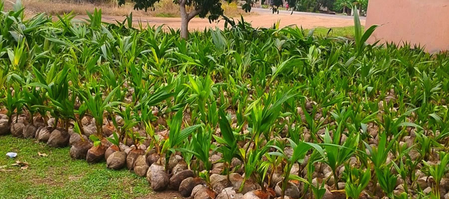
The District covers a total land Area of 810 sq.km. The vast land area of the district is a great asset to the people of Adaklu especially now that demand for land in the regional capital.
It shares boundaries with Ho Municipal to the north, Central Tongu District to the south, Agotime Ziope District to the east and to the west with Ho West District. The District has about 75 communities.
The population of the District according to 2021 population and housing census stands at 86,649 with 18,963 males and 19,686 females.


Local Gov Ministry
Int of Local Gov Studies
Ministry of Information
Local Gov Service
Ghana MPs
Ghana Hospitals
NALAG
 facebook
 twitter
 Youtube
 +233 593 831 280
+233 20 230 9497
+233 593 831 280
+233 20 230 9497 0800 430 430
 GPS: GE-231-4383
 info@ghanadistricts.com
 Box GP1044, Accra, Ghana